I came across a nifty app that allows you to do many things in regard to forest, land use, and biodiversity. Made by Global Forest Watch, this map can give a clearer perspective on where tree loss is occurring worldwide. In the picture below, the pink represents areas with tree loss greater than 30% canopy density loss.

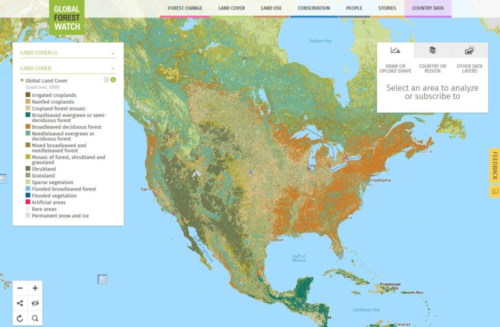
I found U.S. land use by changing some settings. What was striking was how much area was used in the Mid West for agriculture. It seems to blanket most areas from Oklahoma to the Dakotas!
In addition to natural resources, there’s even a map of active dams.
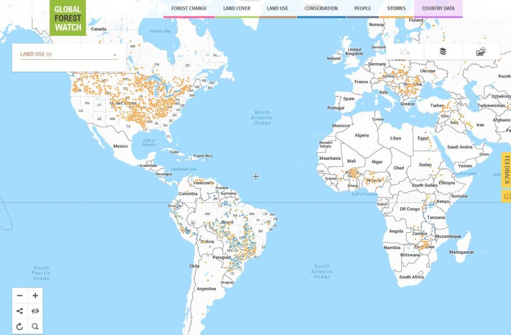
Damn that’s a lotta dams
I even found a way to show tiger conservation sites in Asia.
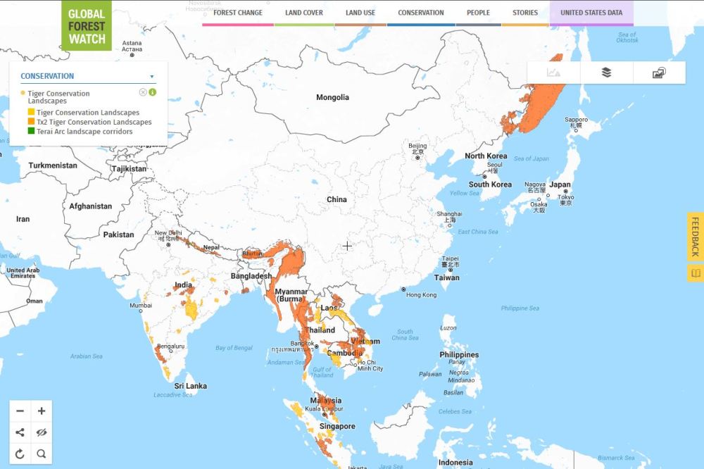
The choices the Barnum & Bailey Circus tigers have to make on where to live…
Do you see foresting and land issues where you live? You can write a story to the site, and others can learn about what’s going on globally. What better way to know what’s really going on environmentally than from locals on the ground?
There’s plenty of more options available in this application. I want to compile a list of resources one can use to monitor global climate, and I believe this tool is definitely a go-to resource for that list. Created by a partnership through the World Resources Institute in DC, they also provide commentary on many forest and climate-related issues. I hope this tool gives you a better appreciation for the state of the environment around the world.
